Social Impact — People & Places
How seasonal dunes, lagoons and winds shape daily life in the Lençóis Maranhenses — with examples for Santo Amaro and Atins.
1. Why dunes matter to people
Livelihoods
Fishing spots, tourism routes and small businesses track where water and access exist. Lagoons bring visitors; dry phases favor crossings.
Mobility & Isolation
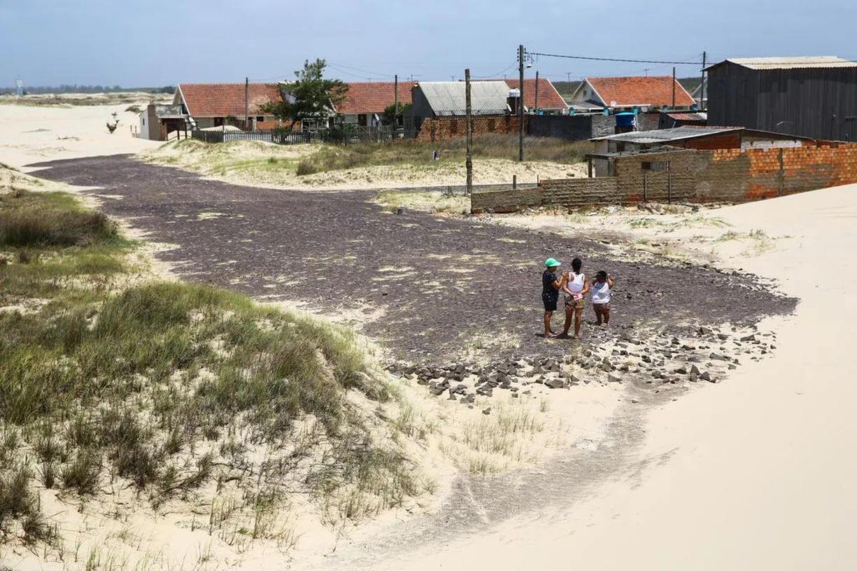
Interdune tracks shift as crests migrate. Seasonal detours can add hours to trips or temporarily isolate households.
Water Security
Groundwater rises in the wet season and falls in the dry; lagoon persistence affects local availability for uses compatible with park rules.
Evidence: Sentinel-1 SAR + AOT (2014–present potential)
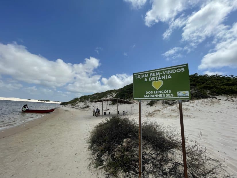
2. Shifting Sands and Daily Life
Communities adapt to a moving landscape. Below, a visual sense of the terrain residents and guides navigate daily.

3. How to read the Web Map for local decisions
Wet vs. Dry Lagoons
Lagoons — Wet (dark blue) highlight potential seasonal access by boat or footpaths along water edges.
Lagoons — Dry (light blue) show where residual water remains in the dry season.
Mobile Dunes
Vectors depict dune migration from AOT. The layer > 20 m/yr marks the most dynamic belts where routes are likely to shift.
Base maps: CartoDB Positron (readability) and ESRI World Imagery (context).
4. Local notes — Santo Amaro & Atins
- Santo Amaro: wet-season lagoons expand near common tourist routes; consider seasonal signage and guide schedules.
- Atins: wind-exposed foredunes and beach access may shift quickly; monitor vectors > 20 m/yr for safe vehicle/foot crossings.
- Community planning: use lagoon persistence and migration belts to time deliveries, school transport and health visits.
5. Policy & Planning ideas
Seasonal Routing
Publish recommended routes by month (wet/dry) and update after major wind or rain events.
Safety & Signage
Mark fast-migrating belts (> 20 m/yr) and lagoon crossings; train local guides with latest layers.
Tourism Windows
Promote lagoon peaks (wet) and traverse windows (dry) with clear expectations of access and conservation rules.